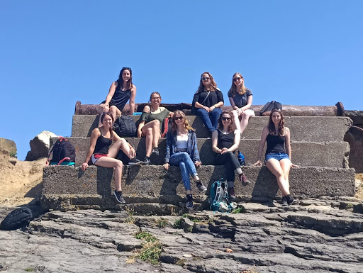
It was hard to say goodbye to such a wonderful group of students as our two-week excavation course came to an end. Last week we did a lot of drawings of the walls that we unearthed and learned how to accurately plan them for the site register. We also ended up going back to Hook Lighthouse on Friday as our last get together. The water was beautiful I just wish I brought my bathing suit!
Outside of the site was also full of adventures this week as our host family cat, Smokey, had kittens and brought them inside. They had just opened their eyes and I have never felt more love in my heart for anything. It was truly beautiful!
This week I had the pleasure of working alongside a good friend of mine doing 3-D scanning of the proposed site of the town of Carrig. The lost town had once housed over 150 buildings but unfortunately was separated from the castle when the N11 was built. Luckily, we were able to get permission to go to the field where it might have once stood. What is left of it has since overgrown and become a farmer’s pasture. My friend, who I met last year in Trim, and I used a Lidar scanner in order to better understand the topography of the area. Fortunately we had some friends to keep us company in the hot summer heat!

Later this month a geophysicist is coming out to further examine the area and I am super excited to see where that leads!
-Gaile Juknevicius, UMKC